NCN 49 - Monmouthshire Brecon Canal
NCN 49 - Monmouthshire Brecon Canal is a 40.1 km road cycling route in Mid & South Wales with 566 m of climbing, about 55% of it off road, and it splits into a single day at a moderate pace.
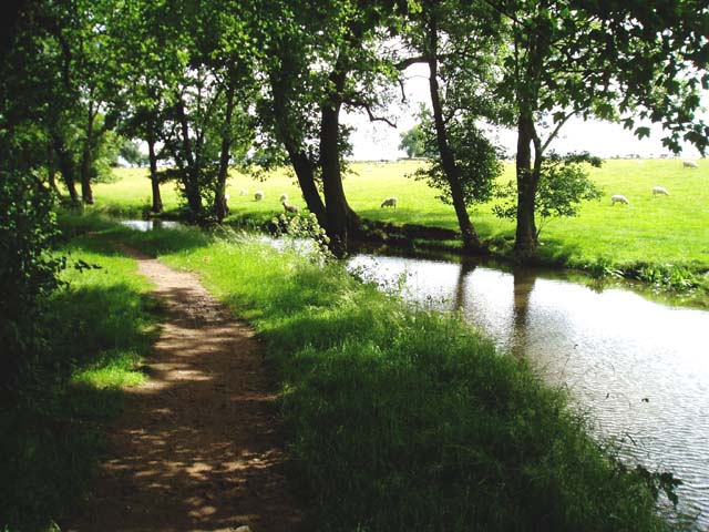
The route leaves Newport along the canal towpath and valley roads, threading through Cwmbran and Pontypool before the settlements thin out past Mamhilad. The surface is mixed: around 55% is off-road, predominantly towpath, with road sections connecting the gaps. Beyond Llanover the canal corridor reasserts itself and carries you through Llanellen, Govilon and Maesygwartha to Glangrwyney. The climbing is concentrated in the second half.
Worth knowing before you go
Newport has full resupply; after Pontymoile the towns give way quickly and options become limited before Govilon. The towpath sections can be slow after wet weather. Navigation through Newport and Cwmbran requires attention where the route crosses between road and towpath.
NCN 49 - Monmouthshire Brecon Canal in numbers
- Distance: 40.1 km
- Climbing: 566 m
- Off road: 22 km, about 55% of the route
- Riding time: about 4 hours, a long day
Water, food, campsites and stations along this route are shown on the interactive map.
Plan it and ride it
The map on this page carries the surface breakdown, the elevation profile and every point of interest. You can split the route into days against your own pace, see what it will cost to ride, and take it with you. Download the GPX.
Read the NCN 49 - Monmouthshire Brecon Canal route guide.
Getting to the start without flying · Browse all routes
Route from Sustrans.
Compiled by Ed Hunton, Cicerone guidebook author, from TourTrax's own route data.