NCN 74 - Scottish Borders
NCN 74 - Scottish Borders is a 142.8 km road cycling route in Lake District & Cumbria with 1182 m of climbing, about 3% of it off road, and it splits into about 2 days at a moderate pace.
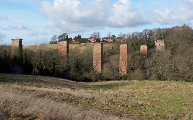
The route runs north from the Solway plain through Gretna Green and along the Annandale corridor before climbing steadily through Crawford and Abington into the Southern Uplands. The terrain is open and exposed on the higher ground between Raecleugh Farm and Abington, with settlements thinning out noticeably. North of Lesmahagow the line drops toward the Clyde valley and the settlements come quickly again through Hamilton, Blantyre and Bothwell to Uddingston. Nearly all of it is on road.
Worth knowing before you go
The gap between Gateside and Crawford is long and rural, with few settlements and limited resupply. Ecclefechan, Crawford, Abington and Lesmahagow are the most reliable points to restock along the way. The route is straightforward to navigate for most of its length, but the section through the tightly spaced settlements approaching Uddingston at the northern end requires attention.
NCN 74 - Scottish Borders in numbers
- Distance: 142.8 km
- Climbing: 1182 m
- Off road: 5 km, about 3% of the route
- Riding time: about 7 hours, roughly 2 days at a moderate pace
Water, food, campsites and stations along this route are shown on the interactive map.
Plan it and ride it
The map on this page carries the surface breakdown, the elevation profile and every point of interest. You can split the route into days against your own pace, see what it will cost to ride, and take it with you. Download the GPX.
Read the NCN 74 - Scottish Borders route guide.
Getting to the start without flying · Browse all routes
Route from Sustrans.
Compiled by Ed Hunton, Cicerone guidebook author, from TourTrax's own route data.