NCN 20 - The Wandle Trail
NCN 20 - The Wandle Trail is a 93.6 km road cycling route in London & South East with 873 m of climbing, about 12% of it off road, and it splits into about 2 days at a moderate pace.
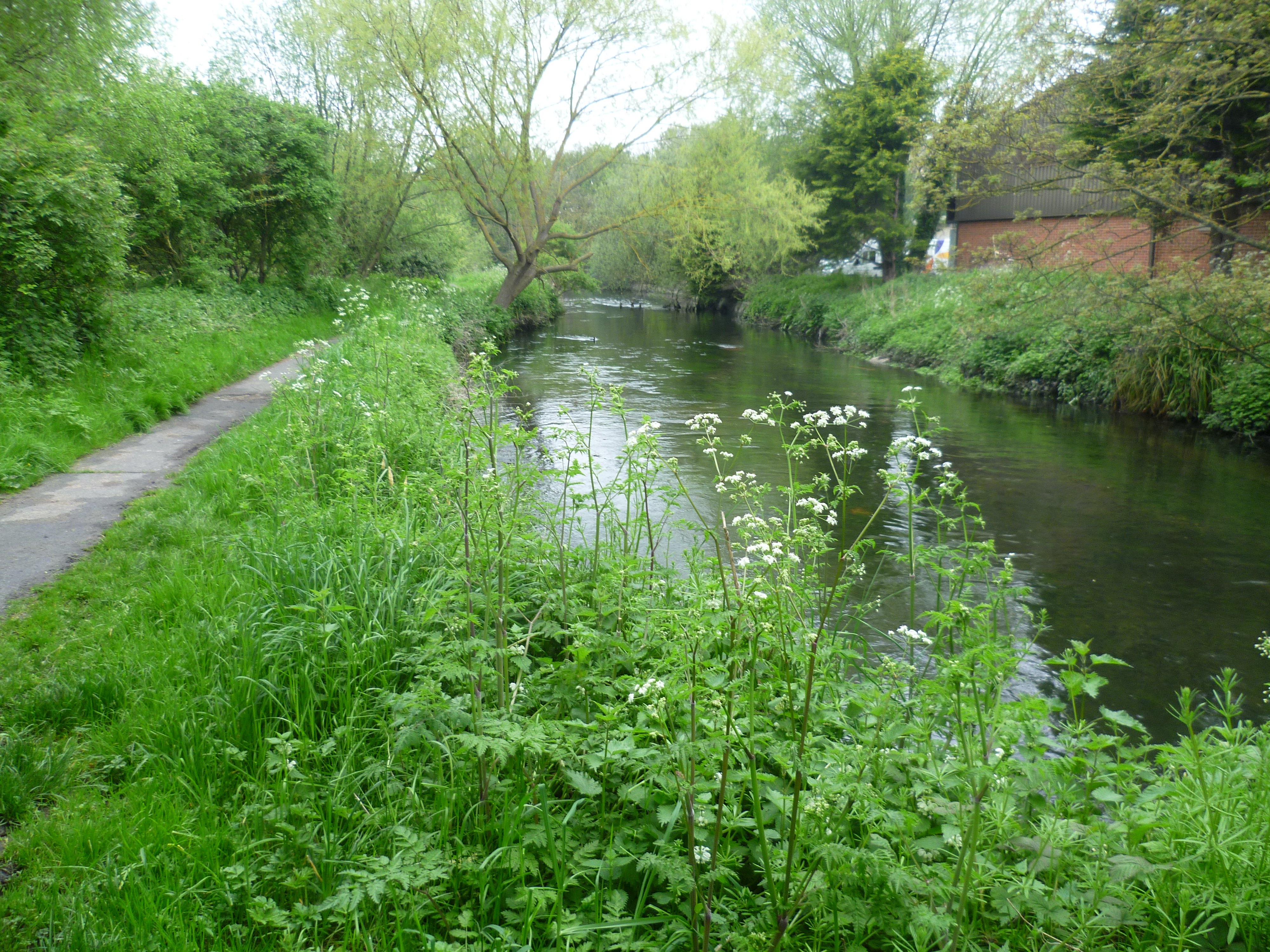
The route runs south from Wandsworth through continuous London suburbs as far as Crawley, mostly on road, before the character of the land shifts at Tilgate and the line moves into the High Weald and then the South Downs. The off-road sections are a small fraction of the whole. South of Crawley the terrain rises toward Staplefield and Slaugham, then the route crosses the South Downs before dropping to Brighton.
Worth knowing before you go
Resupply is straightforward from Wandsworth to Crawley, which is a long run of settlements with no significant gaps. The stretch between Slaugham and Newtimber is the most rural section and has fewer options. Navigation requires attention through the Crawley urban area around Manor Royal and Three Bridges.
NCN 20 - The Wandle Trail in numbers
- Distance: 93.6 km
- Climbing: 873 m
- Off road: 11 km, about 12% of the route
- Riding time: about 6 hours, roughly 2 days at a moderate pace
Water, food, campsites and stations along this route are shown on the interactive map.
Plan it and ride it
The map on this page carries the surface breakdown, the elevation profile and every point of interest. You can split the route into days against your own pace, see what it will cost to ride, and take it with you. Download the GPX.
Read the NCN 20 - The Wandle Trail route guide.
Getting to the start without flying · Browse all routes
Route from Sustrans.
Compiled by Ed Hunton, Cicerone guidebook author, from TourTrax's own route data.