NCN 76 - Round The Firth Of Forth
NCN 76 - Round The Firth Of Forth is a 67.2 km road cycling route in Central & Southern Scotland with 589 m of climbing, about 18% of it off road, and it splits into a single day at a moderate pace.
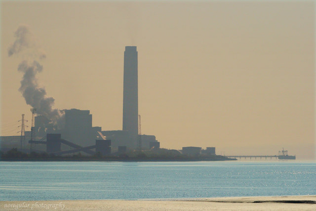
The route runs gently out of Grangemouth and across the Forth floodplain before the ground stiffens through the Fife coalfield villages between Culross and Limekilns. Most of the climbing is concentrated in that middle third. North and South Queensferry mark the crossing point, where the line threads between the two settlements on the southern shore. Around four-fifths of the route is on road.
Worth knowing before you go
Settlements are close together for most of the way, so resupply is not a problem between Grangemouth and Bo'ness, or through the Fife villages. The stretch between Abercorn and Blackness is thin on services. Navigation wants attention around Inverkeithing and Jamestown, where the route passes through quickly and the line changes direction.
NCN 76 - Round The Firth Of Forth in numbers
- Distance: 67.2 km
- Climbing: 589 m
- Off road: 12 km, about 18% of the route
- Riding time: about 3 hours, a long day
Water, food, campsites and stations along this route are shown on the interactive map.
Plan it and ride it
The map on this page carries the surface breakdown, the elevation profile and every point of interest. You can split the route into days against your own pace, see what it will cost to ride, and take it with you. Download the GPX.
Read the NCN 76 - Round The Firth Of Forth route guide.
Getting to the start without flying · Browse all routes
Route from Sustrans.
Compiled by Ed Hunton, Cicerone guidebook author, from TourTrax's own route data.