NCN 14 - Three Rivers
NCN 14 - Three Rivers is a 82.1 km road cycling route in North East England with 822 m of climbing, about 34% of it off road, and it splits into a single day at a moderate pace.
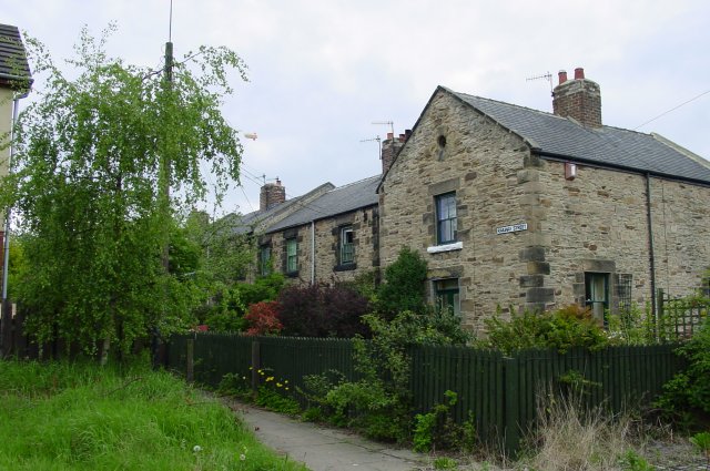
The route starts flat on old colliery lines east of Haswell, then climbs steadily through Durham city and on to Consett, never pitching steeply but accumulating height over a long middle section. Surfaces are mostly compacted gravel or cinder track and hold up well, though they soften after rain. From Consett you drop north-east along the Derwent valley to join the Tyne at Swalwell, and the final stretch into Newcastle and Gateshead runs on paved riverside paths with the bridges in front of you. East of Gateshead the route crosses to the south bank and follows the river out through Felling, Jarrow and into South Shields.
When to ride NCN 14 - Three Rivers
Spring through autumn suits it best; the exposed ridgeline approaching Consett can be wet and windy in winter, and the unsurfaced sections become churned after prolonged rain.
Worth knowing before you go
Durham city is the one reliable point for resupply in the first half; the stretch from Langley Park to Consett and on down the Derwent valley is thinly served, so carry food and water from there. Navigation through Newcastle and Gateshead needs attention where the signed route crosses roads and drops onto shared paths. The section between Haswell and Sherburn Hill passes several former colliery sites, and the infrastructure around some of them is still visible from the track.
NCN 14 - Three Rivers in numbers
- Distance: 82.1 km
- Climbing: 822 m
- Off road: 28 km, about 34% of the route
- Riding time: about 5 hours, a long day
Water, food, campsites and stations along this route are shown on the interactive map.
Plan it and ride it
The map on this page carries the surface breakdown, the elevation profile and every point of interest. You can split the route into days against your own pace, see what it will cost to ride, and take it with you. Download the GPX.
Read the NCN 14 - Three Rivers route guide.
Getting to the start without flying · Browse all routes
Route from Sustrans.
Compiled by Ed Hunton, Cicerone guidebook author, from TourTrax's own route data.