NCN 46 - Heads of the Valleys
NCN 46 - Heads of the Valleys is a 90.6 km road cycling route in Mid & South Wales with 1245 m of climbing, about 16% of it off road, and it splits into a single day at a moderate pace.
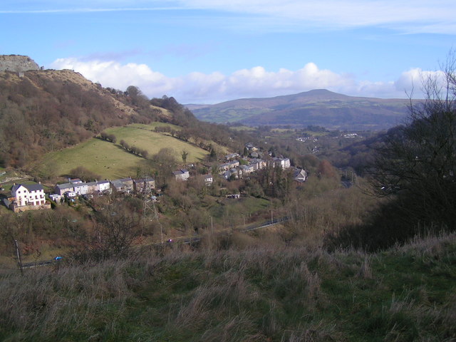
The route leaves Swansea on road and stays largely on tarmac for its full length, with a minority of off-road sections threaded in through the middle stretch. From the coast it follows the Vale of Neath inland through Briton Ferry, Neath, and Resolven before the climbing begins in earnest above Glynneath and Pontneddfechan. The high ground around Cefn Rhigos and Hirwaun is exposed, and the line then works across the Heads of the Valleys corridor through a succession of former industrial settlements before dropping to Govilon, Llanfoist, and Abergavenny.
Worth knowing before you go
Swansea, Neath, and Abergavenny are your best resupply points; the settlements between Hirwaun and Brynmawr are smaller and less certain. The high section above Glynneath and around Cefn Rhigos is the most remote part of the route and exposed to weather. Abergavenny is the eastern terminus.
NCN 46 - Heads of the Valleys in numbers
- Distance: 90.6 km
- Climbing: 1245 m
- Off road: 15 km, about 16% of the route
- Riding time: about 6 hours, a long day
Water, food, campsites and stations along this route are shown on the interactive map.
Plan it and ride it
The map on this page carries the surface breakdown, the elevation profile and every point of interest. You can split the route into days against your own pace, see what it will cost to ride, and take it with you. Download the GPX.
Read the NCN 46 - Heads of the Valleys route guide.
Getting to the start without flying · Browse all routes
Route from Sustrans.
Compiled by Ed Hunton, Cicerone guidebook author, from TourTrax's own route data.