NCN 64 - Melton Mowbray to Lincoln
NCN 64 - Melton Mowbray to Lincoln is a 131.4 km road cycling route in East Midlands with 947 m of climbing, about 8% of it off road, and it splits into about 2 days at a moderate pace.
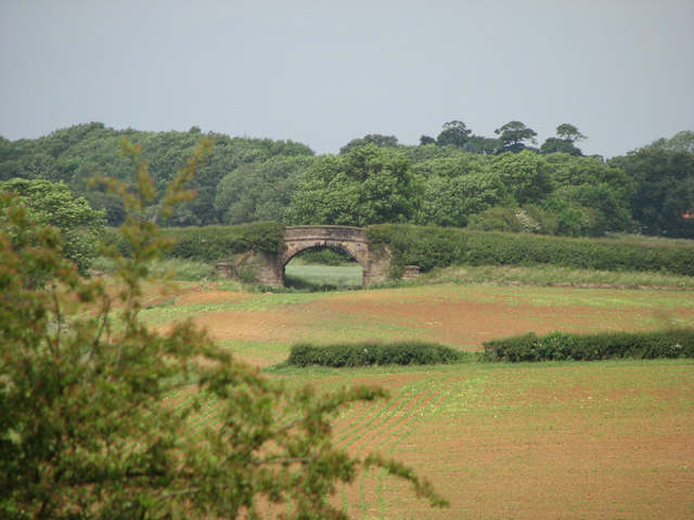
The route runs north from Market Harborough across rolling Leicestershire farmland, climbing through a string of small villages before settling into the flatter ground east of Melton Mowbray. About eight percent of the surface is off road. Beyond Newark on Trent the land levels further and the line threads through a sequence of small settlements on its way into Lincoln.
Worth knowing before you go
Resupply points are thin between Melton Mowbray and Newark on Trent, with only villages on the line in that stretch. Newark on Trent is the most substantial town between the two termini. Lincoln carries a concentration of historic monuments at its end, including the Eleanor Cross, the Stone Bow and Lucy Tower.
NCN 64 - Melton Mowbray to Lincoln in numbers
- Distance: 131.4 km
- Climbing: 947 m
- Off road: 11 km, about 8% of the route
- Riding time: about 8 hours, roughly 2 days at a moderate pace
Water, food, campsites and stations along this route are shown on the interactive map.
Plan it and ride it
The map on this page carries the surface breakdown, the elevation profile and every point of interest. You can split the route into days against your own pace, see what it will cost to ride, and take it with you. Download the GPX.
Read the NCN 64 - Melton Mowbray to Lincoln route guide.
Getting to the start without flying · Browse all routes
Route from Sustrans.
Compiled by Ed Hunton, Cicerone guidebook author, from TourTrax's own route data.