NCN 12 - The Great North Way
NCN 12 - The Great North Way is a 207.9 km road cycling route in London & South East with 1020 m of climbing, about 18% of it off road, and it splits into about 3 days at a moderate pace.
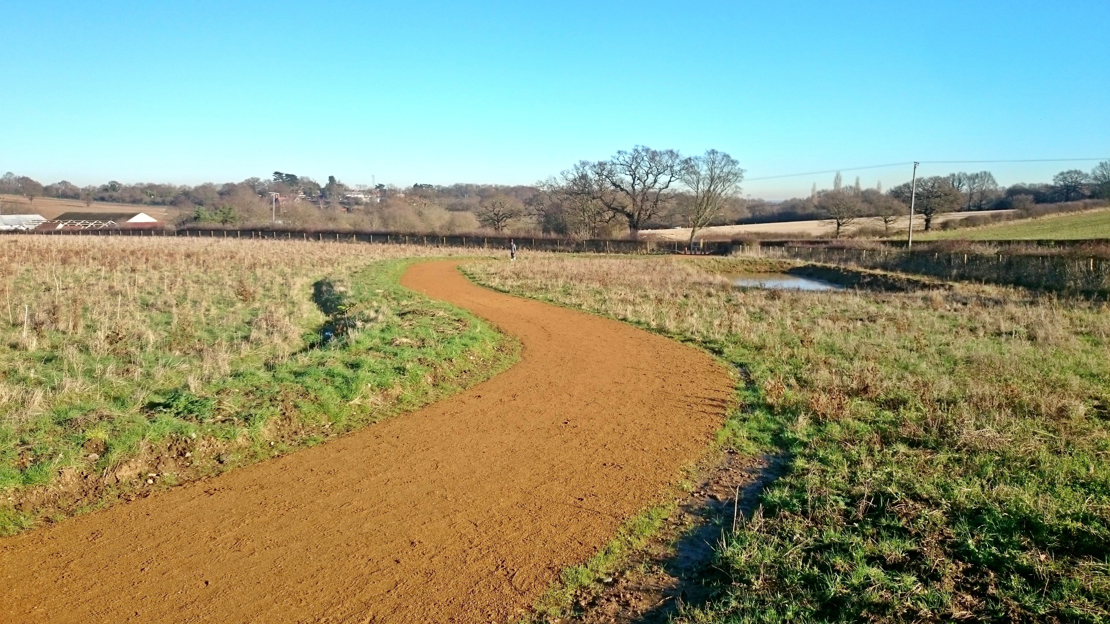
The route runs north from London through the suburban fringe before the land opens into the low Hertfordshire hills between Hatfield and Codicote. Beyond Stevenage the route flattens steadily as it crosses into Bedfordshire and tracks the Great Ouse valley through Sandy and Great Barford. North of Huntingdon the land drops further and the final third runs across the Fens into Spalding, almost without gradient. Around eighteen percent of the surface is off road, spread unevenly along the line.
Worth knowing before you go
Spalding, Huntingdon, Stevenage and Hatfield are the main resupply points; the stretch between Alconbury and Stilton is thin for services. The Fenland section from Cardea to Spalding is exposed and largely without shelter. The route is tagged as road, but the off-road sections around Welham Green and south of Sandy carry surface changes that are worth checking after wet weather.
NCN 12 - The Great North Way in numbers
- Distance: 207.9 km
- Climbing: 1020 m
- Off road: 37 km, about 18% of the route
- Riding time: about 13 hours, roughly 3 days at a moderate pace
Water, food, campsites and stations along this route are shown on the interactive map.
Plan it and ride it
The map on this page carries the surface breakdown, the elevation profile and every point of interest. You can split the route into days against your own pace, see what it will cost to ride, and take it with you. Download the GPX.
Read the NCN 12 - The Great North Way route guide.
Getting to the start without flying · Browse all routes
Route from Sustrans.
Compiled by Ed Hunton, Cicerone guidebook author, from TourTrax's own route data.