NCN 66 - Central Pennines
NCN 66 - Central Pennines is a 226.3 km road cycling route in North West England with 1257 m of climbing, about 16% of it off road, and it splits into about 3 days at a moderate pace.
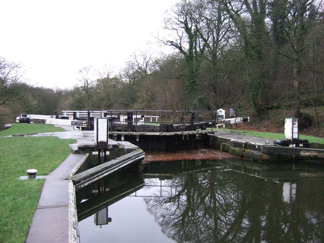
The route runs east from Manchester across the Pennine watershed, climbing steadily through Collyhurst, Hollinwood and Middleton Junction before the valley narrows toward Walsden and the hills close in. About a sixth of the route is off road, scattered across the middle section rather than concentrated in one place. Beyond Halifax the line eases across the broad Vale of York, passing through York itself before the final stretch to Etton over flat agricultural ground.
Worth knowing before you go
Manchester to Rochdale is well served for resupply, but the stretch through the upper Calder Valley between Walsden and King Cross is thinly stocked and worth planning around. Navigation wants attention through the Bradford and Leeds conurbation, where the route threads through Barkerend, Wrose and Greengates on roads that change character quickly. East of York the route is straightforward but long, with a significant gap in settlements between Murton and Goodmanham.
NCN 66 - Central Pennines in numbers
- Distance: 226.3 km
- Climbing: 1257 m
- Off road: 37 km, about 16% of the route
- Riding time: about 13 hours, roughly 3 days at a moderate pace
Water, food, campsites and stations along this route are shown on the interactive map.
Plan it and ride it
The map on this page carries the surface breakdown, the elevation profile and every point of interest. You can split the route into days against your own pace, see what it will cost to ride, and take it with you. Download the GPX.
Read the NCN 66 - Central Pennines route guide.
Getting to the start without flying · Browse all routes
Route from Sustrans.
Compiled by Ed Hunton, Cicerone guidebook author, from TourTrax's own route data.