NCN 68 - Pennine Cycleway
NCN 68 - Pennine Cycleway is a 564.5 km road cycling route in East Midlands with 5802 m of climbing, about 16% of it off road, and it splits into about 6 days at a moderate pace.
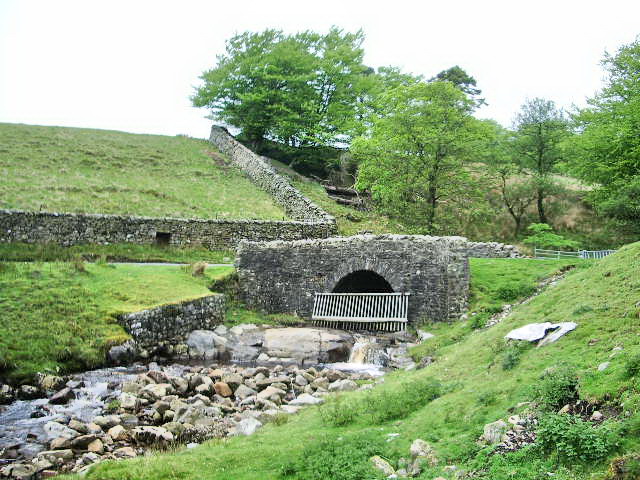
The route runs south to north through the Peak District, Yorkshire Dales, North Pennines, Northumberland and the Lake District, and the terrain compounds as you go. Climbing is steady throughout and concentrated in the upland sections, where the line crosses high moorland and drops repeatedly into valleys before rising again. Roughly a sixth of the route is off road, spread across those same upland stretches.
Worth knowing before you go
The North Pennines and Northumberland stages are the remotest, and resupply points will be further apart there than in the southern sections. The route is tagged as road but the off-road sections require a bike with some clearance. Six days is a moderate estimate and the northern stages carry the most accumulated climbing.
NCN 68 - Pennine Cycleway in numbers
- Distance: 564.5 km
- Climbing: 5802 m
- Off road: 89 km, about 16% of the route
- Riding time: about 34 hours, roughly 6 days at a moderate pace
Water, food, campsites and stations along this route are shown on the interactive map.
Plan it and ride it
The map on this page carries the surface breakdown, the elevation profile and every point of interest. You can split the route into days against your own pace, see what it will cost to ride, and take it with you. Download the GPX.
Read the NCN 68 - Pennine Cycleway route guide.
Getting to the start without flying · Browse all routes
Route from Sustrans.
Compiled by Ed Hunton, Cicerone guidebook author, from TourTrax's own route data.