NCN 61 - Maidenhead to Ware
NCN 61 - Maidenhead to Ware is a 93.5 km road cycling route in London & South East with 548 m of climbing, about 37% of it off road, and it splits into about 2 days at a moderate pace.
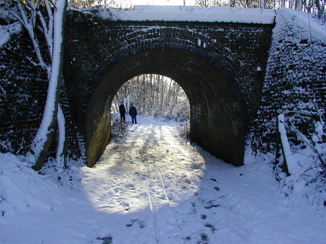
The route runs broadly north-east from Maidenhead, crossing the Thames floodplain before threading through the western suburbs of London via Slough, Uxbridge and the Colne Valley. The surface is mixed: roughly a third is off road, with the remainder on road. Beyond Watford the urban pressure eases and the line passes through Bricket Wood, Park Street and St Albans before picking a way across the quieter country between Hatfield and Welwyn Garden City. The final stretch follows the Lea Valley down to Ware.
Worth knowing before you go
Slough, Uxbridge and Watford all have shops and services, but the stretches either side of Harefield and between Cole Green and Ware are thin for resupply. Navigation through the western London suburbs requires attention where the route crosses and recrosses the road network between Langley and Cowley. The route is tagged as road, so surfaces between off-road sections will be tarmac and open to traffic.
NCN 61 - Maidenhead to Ware in numbers
- Distance: 93.5 km
- Climbing: 548 m
- Off road: 35 km, about 37% of the route
- Riding time: about 8 hours, roughly 2 days at a moderate pace
Water, food, campsites and stations along this route are shown on the interactive map.
Plan it and ride it
The map on this page carries the surface breakdown, the elevation profile and every point of interest. You can split the route into days against your own pace, see what it will cost to ride, and take it with you. Download the GPX.
Read the NCN 61 - Maidenhead to Ware route guide.
Getting to the start without flying · Browse all routes
Route from Sustrans.
Compiled by Ed Hunton, Cicerone guidebook author, from TourTrax's own route data.