NCN 17 - Pilgrims Way
NCN 17 - Pilgrims Way is a 47.6 km road cycling route in London & South East with 820 m of climbing, about 29% of it off road, and it splits into a single day at a moderate pace.
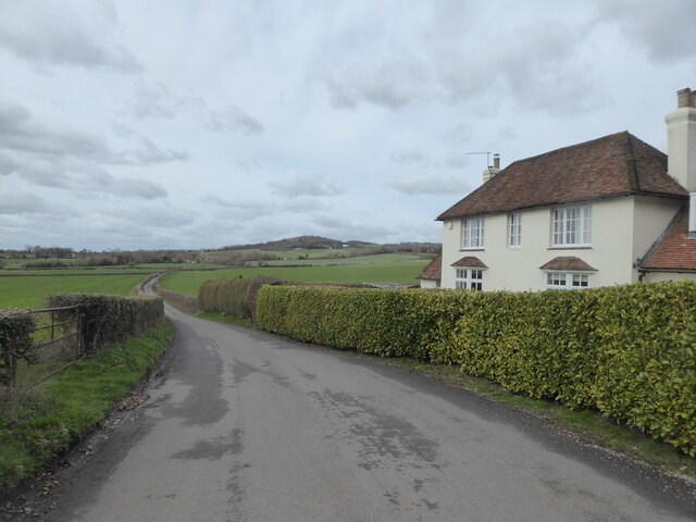
The route runs east from Strood and Rochester through the Kent Downs, climbing steadily through Borstal and Burham before easing across the ridge past Kit's Coty and Detling. About a third of the distance is off road. Beyond Hollingbourne the line settles into a long eastward push through Harrietsham, Lenham and Warren Street before dropping toward Charing and Westwell. The final kilometres through Kennington and Bybrook bring you into Ashford on quieter ground.
Worth knowing before you go
Settlements are close together as far as Hollingbourne, then the gaps between Lenham, Warren Street and Charing leave a stretch with fewer options. The route is tagged as road, but with a significant off-road proportion you should check your surface preference before committing a loaded bike. Navigation through the built edges of Rochester and Ashford requires attention.
NCN 17 - Pilgrims Way in numbers
- Distance: 47.6 km
- Climbing: 820 m
- Off road: 14 km, about 29% of the route
- Riding time: about 2 hours, a long day
Water, food, campsites and stations along this route are shown on the interactive map.
Plan it and ride it
The map on this page carries the surface breakdown, the elevation profile and every point of interest. You can split the route into days against your own pace, see what it will cost to ride, and take it with you. Download the GPX.
Read the NCN 17 - Pilgrims Way route guide.
Getting to the start without flying · Browse all routes
Route from Sustrans.
Compiled by Ed Hunton, Cicerone guidebook author, from TourTrax's own route data.