NCN 24 - Bath to Eastleigh
NCN 24 - Bath to Eastleigh is a 123.9 km road cycling route in Wessex & the South with 1178 m of climbing, about 5% of it off road, and it splits into about 2 days at a moderate pace.
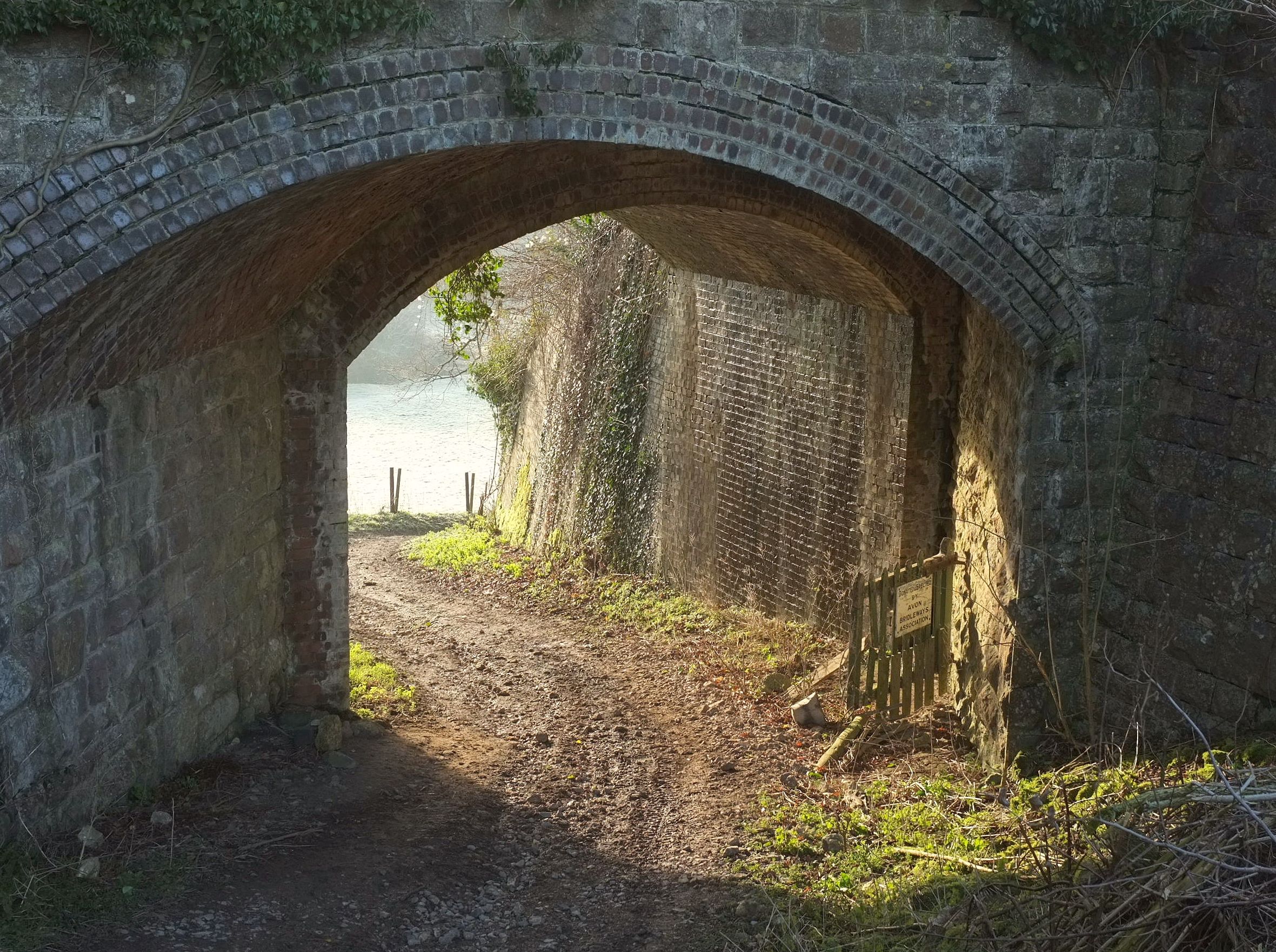
The route runs south from Bath through the Cotswolds and Cranborne Chase and West Wiltshire Downs, losing and regaining height repeatedly before settling into flatter going as it approaches Eastleigh. Almost all of it is on road. The line threads through a long sequence of small settlements, from Midford and Stoney Littleton early on through to Michelmersh and North Baddesley near the finish, with Salisbury the largest place anywhere along it.
Worth knowing before you go
Resupply is possible at intervals throughout, given the density of settlements on the line. The stretch between East Grimstead and Oakley, across a quiet section of the route, is the longest gap between places. The route passes Longleat Estate, Wilton House and the Radstock Museum area, so some sections may carry tourist traffic on weekends.
NCN 24 - Bath to Eastleigh in numbers
- Distance: 123.9 km
- Climbing: 1178 m
- Off road: 6 km, about 5% of the route
- Riding time: about 7 hours, roughly 2 days at a moderate pace
Water, food, campsites and stations along this route are shown on the interactive map.
Plan it and ride it
The map on this page carries the surface breakdown, the elevation profile and every point of interest. You can split the route into days against your own pace, see what it will cost to ride, and take it with you. Download the GPX.
Read the NCN 24 - Bath to Eastleigh route guide.
Getting to the start without flying · Browse all routes
Route from Sustrans.
Compiled by Ed Hunton, Cicerone guidebook author, from TourTrax's own route data.