NCN 2 - South Coast Cycle Route
NCN 2 - South Coast Cycle Route is a 601.6 km road cycling route in London & South East with 2974 m of climbing, about 12% of it off road, and it splits into about 6 days at a moderate pace.
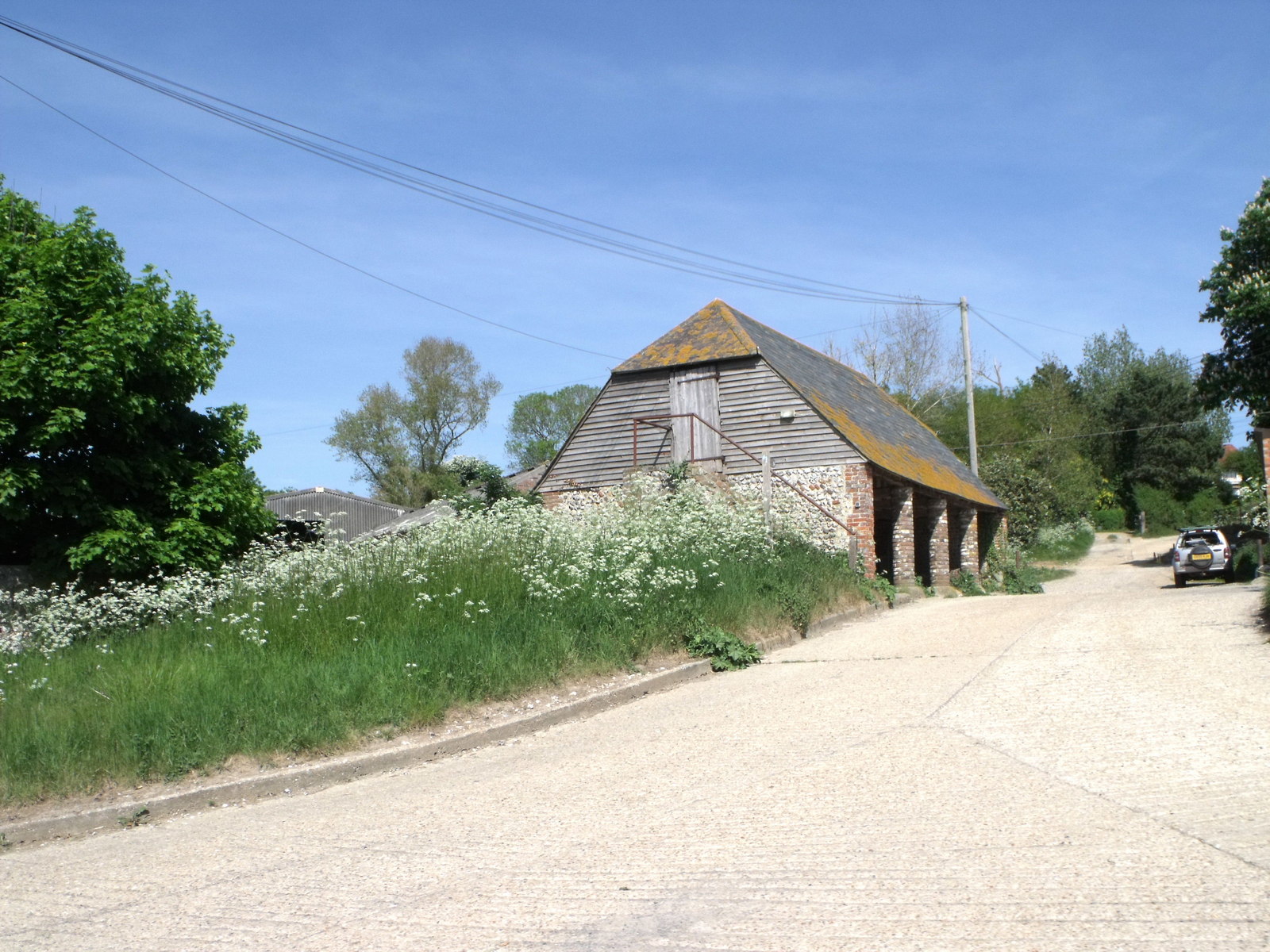
The route runs the full length of the south coast from west to east, threading through Dartmoor, the New Forest, the South Downs and the Kent Downs before finishing in London. Most of it is on road, with around twelve percent off road across the whole distance. The terrain is varied but persistently rolling, with the coastal AONBs adding climbing through Dorset and East Devon before the line settles into the lower country of West Sussex and Kent.
Worth knowing before you go
Six days is a reasonable target at a moderate pace, though the western end through Dartmoor and East Devon is the more demanding half. The route passes through enough named areas to keep resupply straightforward for most of its length. Roughly six hundred kilometres end to end means daily distances need planning from the start.
NCN 2 - South Coast Cycle Route in numbers
- Distance: 601.6 km
- Climbing: 2974 m
- Off road: 70 km, about 12% of the route
- Riding time: about 35 hours, roughly 6 days at a moderate pace
Water, food, campsites and stations along this route are shown on the interactive map.
Plan it and ride it
The map on this page carries the surface breakdown, the elevation profile and every point of interest. You can split the route into days against your own pace, see what it will cost to ride, and take it with you. Download the GPX.
Read the NCN 2 - South Coast Cycle Route route guide.
Getting to the start without flying · Browse all routes
Route from Sustrans.
Compiled by Ed Hunton, Cicerone guidebook author, from TourTrax's own route data.