NCN 60 - Manchester
NCN 60 - Manchester is a 20 km road cycling route in North West England with 258 m of climbing, about 5% of it off road, and it splits into a single day at a moderate pace.
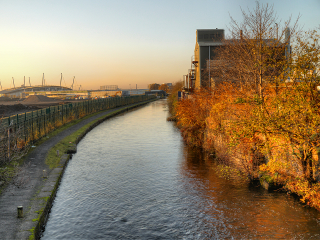
The route runs south to north through continuous Manchester suburbs, threading Chorlton-cum-Hardy, Withington, Fallowfield and Levenshulme before bending northeast through Gorton and Openshaw toward the city centre and out through Miles Platting, Collyhurst and Cheetham Hill to Blackley. Most of the surface is road. The climbing is spread across the whole line rather than concentrated in one place.
Worth knowing before you go
You are in built-up Manchester throughout, so resupply is not a problem at any point on the route. The small off-road fraction keeps navigation active in places. Bradford and Clayton carry some industrial heritage worth a pause if you are tracking the Bradford Pit Memorial or Clayton Hall.
NCN 60 - Manchester in numbers
- Distance: 20 km
- Climbing: 258 m
- Off road: 1 km, about 5% of the route
- Riding time: about 1 hours, a long day
Water, food, campsites and stations along this route are shown on the interactive map.
Plan it and ride it
The map on this page carries the surface breakdown, the elevation profile and every point of interest. You can split the route into days against your own pace, see what it will cost to ride, and take it with you. Download the GPX.
Read the NCN 60 - Manchester route guide.
Getting to the start without flying · Browse all routes
Route from Sustrans.
Compiled by Ed Hunton, Cicerone guidebook author, from TourTrax's own route data.