NCN 44 - Six Castles Way
NCN 44 - Six Castles Way is a 109 km road cycling route in West Midlands with 1808 m of climbing, about 4% of it off road, and it splits into about 2 days at a moderate pace.
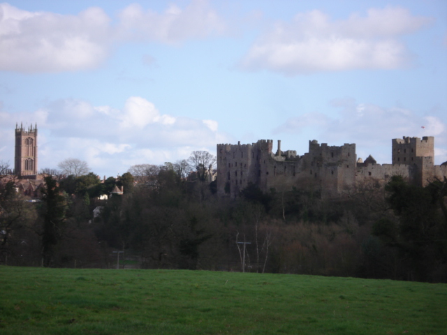
The route leaves Shrewsbury through suburbs and eases south-west through a run of small settlements before the Shropshire Hills impose themselves. The surface is almost entirely road. Beyond Minsterley the lane network thins and the climbing accumulates through Churchstoke and on toward Lydbury North, then eases as you descend through Craven Arms and follow the valley south through Onibury and Ludford. The final stretch from Pipe Aston through Luston into Leominster is gentler and more open.
Worth knowing before you go
Craven Arms is the only settlement of any size between Minsterley and Leominster, so carry food and water for the long middle section. The route is around four percent off road, but that fraction can catch you if your tyres are narrow. Navigation through the Shrewsbury suburbs at the start repays attention.
NCN 44 - Six Castles Way in numbers
- Distance: 109 km
- Climbing: 1808 m
- Off road: 5 km, about 4% of the route
- Riding time: about 6 hours, roughly 2 days at a moderate pace
Water, food, campsites and stations along this route are shown on the interactive map.
Plan it and ride it
The map on this page carries the surface breakdown, the elevation profile and every point of interest. You can split the route into days against your own pace, see what it will cost to ride, and take it with you. Download the GPX.
Read the NCN 44 - Six Castles Way route guide.
Getting to the start without flying · Browse all routes
Route from Sustrans.
Compiled by Ed Hunton, Cicerone guidebook author, from TourTrax's own route data.