NCN 67 - Trans Pennine Trail Central
NCN 67 - Trans Pennine Trail Central is a 234.4 km road cycling route in East Midlands with 1848 m of climbing, about 28% of it off road, and it splits into about 3 days at a moderate pace.
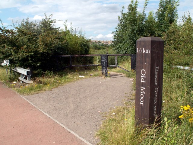
The route runs north from Long Eaton through the East Midlands coalfield, flat at first before the ground lifts through Langley Mill and Codnor Park toward Chesterfield. From there it threads through Sheffield's northern suburbs, Brightside and Shiregreen, before opening out across the Yorkshire lowlands to Castleford and the climb to Harrogate. About a quarter of the surface is off road. The final stretch north from Harrogate through Clint and Studley Roger brings you into Ripon.
Worth knowing before you go
Resupply is straightforward through the urban spine from Long Eaton to Barnsley, but the section between Bramham and Harrogate is quieter. Nidderdale is passed through near the end of the route. The route is tagged as road, but with roughly a quarter off road, surface conditions after wet weather are worth checking before you leave.
NCN 67 - Trans Pennine Trail Central in numbers
- Distance: 234.4 km
- Climbing: 1848 m
- Off road: 66 km, about 28% of the route
- Riding time: about 17 hours, roughly 3 days at a moderate pace
Water, food, campsites and stations along this route are shown on the interactive map.
Plan it and ride it
The map on this page carries the surface breakdown, the elevation profile and every point of interest. You can split the route into days against your own pace, see what it will cost to ride, and take it with you. Download the GPX.
Read the NCN 67 - Trans Pennine Trail Central route guide.
Getting to the start without flying · Browse all routes
Route from Sustrans.
Compiled by Ed Hunton, Cicerone guidebook author, from TourTrax's own route data.