NCN 43 - Swansea Valley
NCN 43 - Swansea Valley is a 31.1 km road cycling route in Mid & South Wales with 484 m of climbing, about 6% of it off road, and it splits into a single day at a moderate pace.
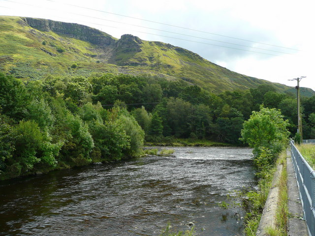
The route runs north from Swansea up the Swansea Valley, following the river corridor through a tight sequence of settlements before the valley narrows beyond Clydach. The surface is mostly road, with a small off-road fraction that comes in without much warning. Beyond Pontardawe the settlements thin out and the line continues through Ystalyfera and Ystradgynlais to finish at Ynyswen.
Worth knowing before you go
Swansea has full resupply at the start, and Pontardawe and Ystradgynlais cover the middle and upper valley. The off-road sections are short but check conditions before setting out if the weather has been wet. The upper section beyond Ystradgynlais is quiet and resupply options are limited from Abercraf onward.
NCN 43 - Swansea Valley in numbers
- Distance: 31.1 km
- Climbing: 484 m
- Off road: 2 km, about 6% of the route
- Riding time: about 1 hours, a long day
Water, food, campsites and stations along this route are shown on the interactive map.
Plan it and ride it
The map on this page carries the surface breakdown, the elevation profile and every point of interest. You can split the route into days against your own pace, see what it will cost to ride, and take it with you. Download the GPX.
Read the NCN 43 - Swansea Valley route guide.
Getting to the start without flying · Browse all routes
Route from Sustrans.
Compiled by Ed Hunton, Cicerone guidebook author, from TourTrax's own route data.