NCN 8 - Lôn Las Cymru
NCN 8 - Lôn Las Cymru is a 409.4 km road cycling route in North Wales & Snowdonia with 4266 m of climbing, about 11% of it off road, and it splits into about 4 days at a moderate pace.
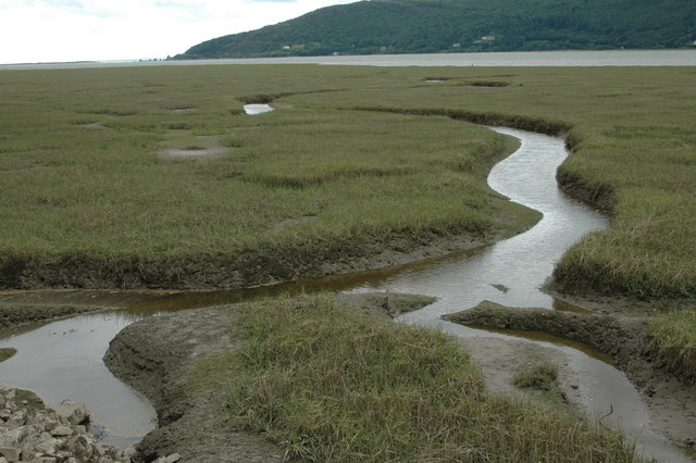
The route runs from Holyhead south through Anglesey and Snowdonia before turning inland across mid-Wales and down to Cardiff, and the terrain shifts noticeably as it goes. The northern sections through Snowdonia are rolling and at times sharply so, while the middle stretch around Dylife and Llangurig is the hardest of the lot. South of Llanfaes the gradient eases and the final fifth into Cardiff is gently rolling. About nine-tenths of the route is on road.
Worth knowing before you go
The stretch between Dolgellau and Llangurig is long and the settlements are sparse, so resupply needs planning before you leave Dolgellau or Pantperthog. Dylife sits in the middle of that gap with nothing much around it. The route passes through Treharris and the valleys south of there before threading through the northern Cardiff suburbs to finish at Cardiff Bay.
NCN 8 - Lôn Las Cymru in numbers
- Distance: 409.4 km
- Climbing: 4266 m
- Off road: 47 km, about 11% of the route
- Riding time: about 24 hours, roughly 4 days at a moderate pace
Water, food, campsites and stations along this route are shown on the interactive map.
Plan it and ride it
The map on this page carries the surface breakdown, the elevation profile and every point of interest. You can split the route into days against your own pace, see what it will cost to ride, and take it with you. Download the GPX.
Read the NCN 8 - Lôn Las Cymru route guide.
Getting to the start without flying · Browse all routes
Route from Sustrans.
Compiled by Ed Hunton, Cicerone guidebook author, from TourTrax's own route data.