NCN 65 - Hornsea to Middlesbrough
NCN 65 - Hornsea to Middlesbrough is a 211.4 km road cycling route in Yorkshire Dales & Moors with 1175 m of climbing, about 16% of it off road, and it splits into about 3 days at a moderate pace.
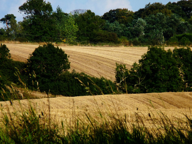
The route runs west from Hornsea across the flat Vale of York before swinging north through the Howardian Hills and into the North York Moors, so the climbing comes late. Hull sits a quarter of the way along and the route threads through its centre past the old North Bridge and Victoria Dock. South of York the land stays low and open; north of Easingwold the road begins to rise toward Kilburn and the moors proper. About a sixth of the route is off road.
Worth knowing before you go
Hull is the main resupply point in the first third; between Easingwold and Middlesbrough, settlements on the line are small and spread thin. The stretch through the North York Moors between Kepwick and Potto is the most remote section. York sits at roughly the halfway point and is the last large town before the finish.
NCN 65 - Hornsea to Middlesbrough in numbers
- Distance: 211.4 km
- Climbing: 1175 m
- Off road: 34 km, about 16% of the route
- Riding time: about 16 hours, roughly 3 days at a moderate pace
Water, food, campsites and stations along this route are shown on the interactive map.
Plan it and ride it
The map on this page carries the surface breakdown, the elevation profile and every point of interest. You can split the route into days against your own pace, see what it will cost to ride, and take it with you. Download the GPX.
Read the NCN 65 - Hornsea to Middlesbrough route guide.
Getting to the start without flying · Browse all routes
Route from Sustrans.
Compiled by Ed Hunton, Cicerone guidebook author, from TourTrax's own route data.