NCN 28 - Dartmoor South Devon
NCN 28 - Dartmoor South Devon is a 154.1 km road cycling route in South West England with 2450 m of climbing, about 12% of it off road, and it splits into about 2 days at a moderate pace.
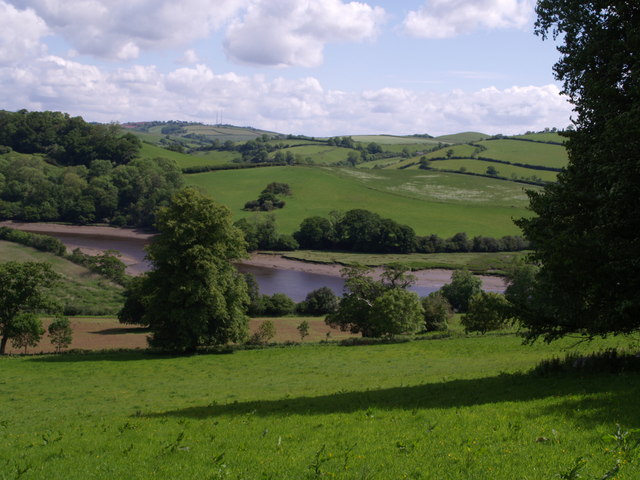
The route runs from Okehampton across the eastern edge of Dartmoor before dropping south through North Bovey and Wreyland to Newton Abbot, then turns south-west along the coast hinterland through a long string of small settlements to finish at Cattedown on the Plymouth waterfront. The terrain is front-loaded: the moorland section climbs hard and the lanes are exposed. Around a tenth of the route is off road, spread across the whole line rather than concentrated in one place. South of Dartington the road becomes quieter and the villages come quickly, with short rises between each valley.
Worth knowing before you go
Okehampton, Newton Abbot and Yealmpton are the main places to resupply; between Dartington and Aveton Gifford the settlements are small and close together but none is large. The moorland section between Okehampton and North Bovey is the most remote part of the route and the most exposed to weather. Navigation through the cluster of lanes between Cornworthy, Allaleigh and Chillington requires attention.
NCN 28 - Dartmoor South Devon in numbers
- Distance: 154.1 km
- Climbing: 2450 m
- Off road: 19 km, about 12% of the route
- Riding time: about 11 hours, roughly 2 days at a moderate pace
Water, food, campsites and stations along this route are shown on the interactive map.
Plan it and ride it
The map on this page carries the surface breakdown, the elevation profile and every point of interest. You can split the route into days against your own pace, see what it will cost to ride, and take it with you. Download the GPX.
Read the NCN 28 - Dartmoor South Devon route guide.
Getting to the start without flying · Browse all routes
Route from Sustrans.
Compiled by Ed Hunton, Cicerone guidebook author, from TourTrax's own route data.