NCN 77 - Dundee to Pitlochry
NCN 77 - Dundee to Pitlochry is a 87.2 km road cycling route in North East Scotland with 1069 m of climbing, about 2% of it off road, and it splits into a single day at a moderate pace.
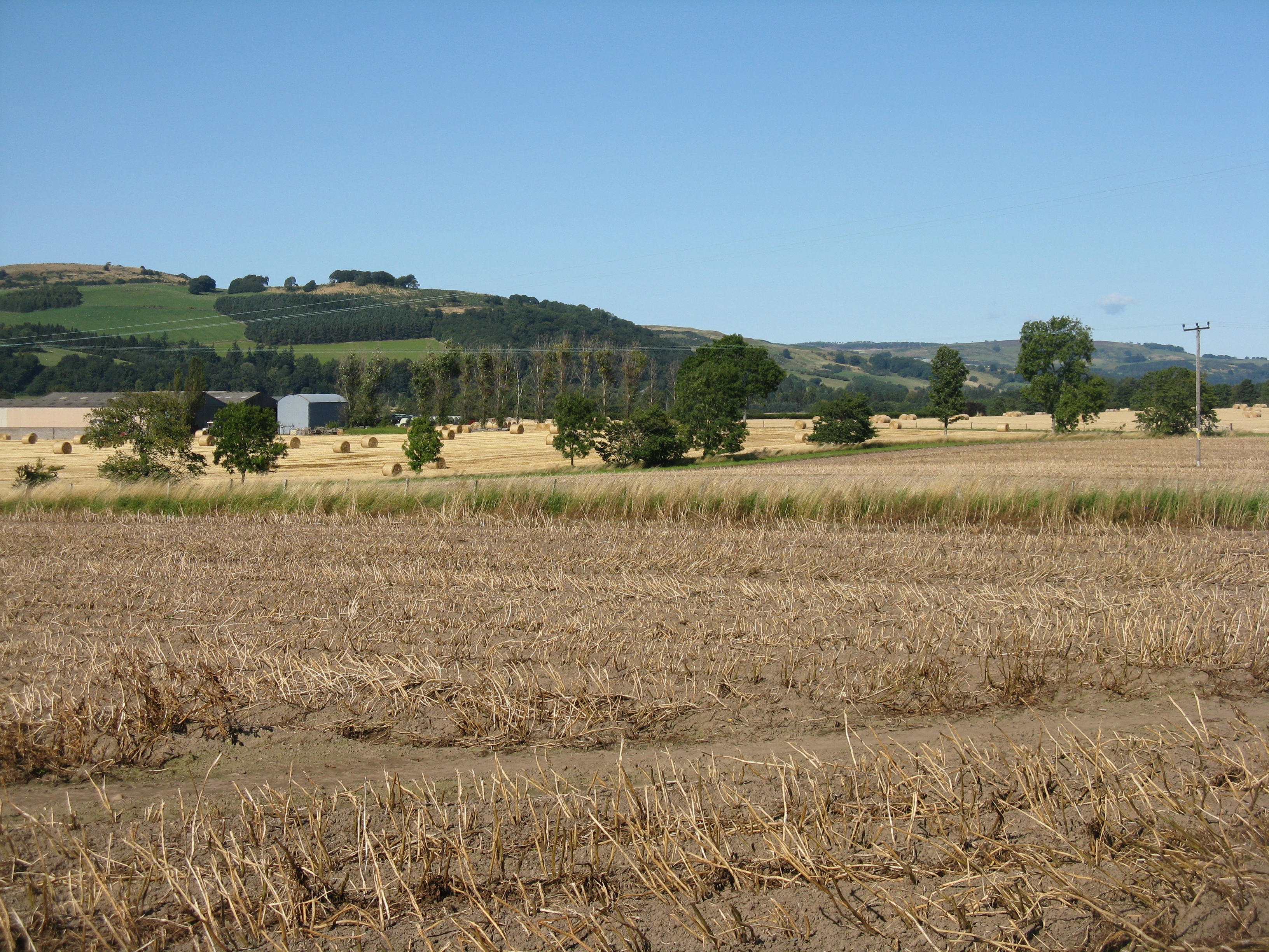
The route leaves Dundee along the waterfront and works through the city's western fringe before settling into a long, mostly road-based run through the Carse of Gowrie and up into Perthshire. The climbing comes in stages, heavier in the second half once you pass Almondbank and head north toward Dunkeld. Beyond Dunkeld the road follows the Tay valley through Dalguise and Guay before the final push to Pitlochry.
Worth knowing before you go
Dundee and Perth carry the main resupply options; the stretch from Almondbank through Waterloo to Dunkeld is the longest gap, so load up before leaving the city. The route is almost entirely on road, so navigation is straightforward for most of its length, though the early urban section through Blackness and Ninewells wants attention. Logierait to Pitlochry is the tail of the day and comes after the bulk of the climbing.
NCN 77 - Dundee to Pitlochry in numbers
- Distance: 87.2 km
- Climbing: 1069 m
- Off road: 2 km, about 2% of the route
- Riding time: about 4 hours, a long day
Water, food, campsites and stations along this route are shown on the interactive map.
Plan it and ride it
The map on this page carries the surface breakdown, the elevation profile and every point of interest. You can split the route into days against your own pace, see what it will cost to ride, and take it with you. Download the GPX.
Read the NCN 77 - Dundee to Pitlochry route guide.
Getting to the start without flying · Browse all routes
Route from Sustrans.
Compiled by Ed Hunton, Cicerone guidebook author, from TourTrax's own route data.