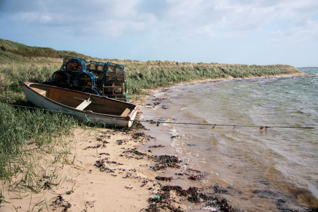
 Boat and creels on Glimps Holm. Photo: Bob Jones / Geograph (CC BY-SA 2.0)
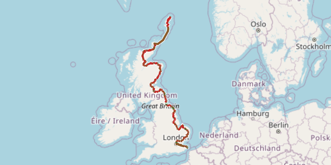
Official route · Sustrans
NCN 1 - North Sea Cycle Route
South of Yorkshire the route is flat to gently rolling, mostly on road, and moves quickly through the Fens and along the Norfolk coast.
It takes long inland diversions, through Norwich and Lincoln among others, so the line is not strictly coastal whatever the name suggests. North of the Humber the character shifts: the North York Moors bring the first real climbing, and the stretch around Whitby loses its signage. The longest haul of the whole route is the inland pull from Berwick-upon-Tweed northward toward Edinburgh.
The figures
| Distance | 2590.3 km |
|---|---|
| Climbing | 6273 m |
| Off road | 526 km, about 20% of the route |
| Riding time | about 200 hours, roughly 34 days at a moderate pace |
| Region | The United Kingdom (eastern edge) |
| Route from | Sustrans |
When to ride it
The eastern seaboard is exposed to wind off the North Sea for most of the year, and a southerly start in spring gives you the prevailing wind at your back as the route runs north. Winter riding is possible but the northern sections, particularly the Northumberland coast and beyond, are short on daylight and cold.
Worth knowing before you go
The section after Whitby has a gap in signing, so carry a downloaded track or a map for that stretch before you leave. Resupply is straightforward through the market towns of Lincolnshire and Norfolk, but thins out on the Northumberland coast. The Lee Navigation out of London is the longest continuous traffic-free stretch in the south; most of the route around Newcastle is also off road.
Put your own dates on this and TourTrax splits it into days at your pace, finds somewhere to sleep at the end of each one, estimates what it will cost and gets you to the start without flying.
Plan this route → Download the GPXGetting there
Trains reach most routes in Britain with the bike built and no box. Overland to the start carries the rail and ferry chains into Europe, and the planner times the legs for your dates.